KI-Beratung Beta

Gutscheinbedingungen

**Gültig bis 18.11.2026 auf englischsprachige Klassiker (klassiker-32728) online auf thaalia.live und in der Thalia App. Einzelne Artikel können ausgeschlossen sein. Ausgenommen sind preisgebundene Artikel & eBooks. Pro Einkauf einmal einlösbar. Click & Collect nur bei Onlinevorabzahlung möglich. Keine Barauszahlung. Nicht kombinierbar mit anderen Aktionen und Gutscheinen. Gutschein wird auf max. 500€ Bestellwert angerechnet. Nicht gültig für Geschenkkarten, Versandkosten und Services.

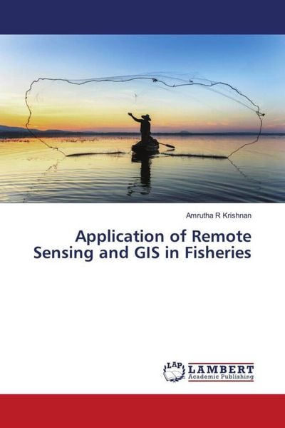
Produktbild: Application of Remote Sensing and GIS in Fisheries
- 13%

Application of Remote Sensing and GIS in Fisheries DE

13% sparen

38,99 € UVP 45,20 €

inkl. gesetzl. MwSt., Versandkostenfrei


Beschreibung

The World¿s highest producer of fish and fishery products from capture fisheries are identified as major fishing areas by FAO. The countries within the Southeast Asian region considered as a major producer of capture fisheries. GIS is within the sort of hardware, software, and data that permits any trained...

Beschreibung

The World¿s highest producer of fish and fishery products from capture fisheries are identified as major fishing areas by FAO. The countries within the Southeast Asian region considered as a major producer of capture fisheries. GIS is within the sort of hardware, software, and data that permits any trained staff to update, manipulate, analyze, and display geographically the referred information (Rahel, 2004). Since GIS integrates hardware, software, and data for capturing, managing, analyzing, and displaying all varieties of geographically referenced information, it can provide the unlimited amount of data needed in research (Foote and Lynch, 2015). In fact, GIS has many applications associated with planning, management, transport/logistics, insurance, telecommunications, and business (Maliene et al., 2011). Foote and Lynch (2015) added that the various innovations, like GIS could boost the region¿s efforts to enhance fisheries development and management as it links variety of technologies, and thus it emerges as a strong technology.

Produktdetails

Einband

Taschenbuch

Erscheinungsdatum

23.02.2022

Verlag LAP LAMBERT Academic Publishing
Seitenzahl

52

Produktdetails

Einband

Taschenbuch

Erscheinungsdatum

23.02.2022

Verlag LAP LAMBERT Academic Publishing
Seitenzahl

52

Maße (L/B/H)

22/15/0,4 cm

Gewicht

96 g

Sprache

Englisch

ISBN

978-620-4-74687-6

Herstelleradresse


Email: info@bod.de

Noch keine Bewertungen vorhanden

Verfassen Sie die erste Bewertung zu diesem Artikel

Helfen Sie anderen Kundinnen und Kunden durch Ihre Meinung.

Kundinnen und Kunden meinen

Bewertungen (0)

  • Produktbild: Application of Remote Sensing and GIS in Fisheries